
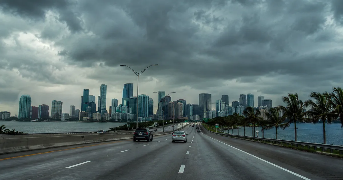
MIAMI.– The dry and relatively stable pattern that dominated South Florida during the last few days came to an end this Wednesday, when a transition to a considerably wetter and unstable scenario begins.
The meteorological service anticipated a progressive increase in showers and thunderstorms that will intensify between Thursday and the weekend, driven by a layer of tropical humidity that moves from the Caribbean and the Gulf towards the Florida peninsula, at a time when the region suffers a prolonged rainfall deficit.
Intensification towards the weekend
During this day, the metropolitan areas of the east coast maintain relatively low chances of rain, while the inland and west coast communities register a greater presence of isolated storms.
Maximum temperatures are in the high 80s Fahrenheit, with wind chills close to 100 degrees in many sectors.
The background shift accelerates starting Thursday, when a deep layer of tropical moisture pushes north from the Caribbean and Gulf. The occurrence of rain and storms will increase steadily throughout the day, with the possibility that activity will become numerous each afternoon.
Although East Coast metropolitan areas will see lower probabilities in the early hours, showers and thunderstorms will become more frequent across the region as the week progresses, according to forecasts.
The National Meteorological Service places maximum temperatures around 88 degrees for Miami on Wednesday, with the probability of rain increasing overnight and remaining high on Thursday, a day in which probable downpours are anticipated.
On Friday the forecast points to probable thunderstorms, in an increasingly unstable environment.
Caribbean and Gulf
Meteorologists describe the phenomenon as a “true Caribbean moisture pipeline” that will be swept northward directly over the state, capable of dumping rain at potentially high rates.
That flow prompted the issuance of a Level 1 flash flood risk for parts of southeast Florida, including Miami and West Palm Beach. A stationary front that slowly descends over the southeast of the country acts as a trigger for atmospheric mechanics.
The forecast also points to the possible arrival of a more vigorous atmospheric disturbance on Saturday, which would increase the potential for stronger storms. The unstable pattern would continue through the weekend and possibly into early next week, with a front moving slowly as high pressure reorganizes from the north.
A necessary rain, but with risks
The episode comes while Florida is going through one of its most extensive and severe droughts in recent years, with rainfall deficits that in some corridors in the north of the state reach records well below normal.
The authorities have described moderate to exceptional drought conditions in sectors of the west and southwest of the peninsula, a situation that led to water restrictions in different areas and a complex panorama for agriculture, with low humidity soils and difficult germination without irrigation.
In this context, the arrival of rains is beneficial to replenish water reserves and relieve stress on soils and crops. However, specialists warn that the negative effects of daily downpours could begin to outweigh their benefits as the days progress, with flooding a growing concern.
