
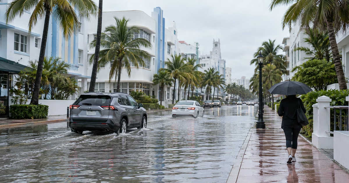
MIAMI.— South Florida faces a new day of rain and possible localized flooding this Thursday, while higher-than-usual sea levels persist after the recent cycle of king tides.
The National Weather Service (NWS) forecast scattered to numerous showers and thunderstorms, with the highest chances over inland areas and the Atlantic coast.
Miami, Fort Lauderdale, West Palm Beach and other locations in the urban corridor could register rainfall at different times of the day. The probability of rain is around 70% in much of Miami-Dade, Broward and Palm Beach.
According to the forecast, maximum temperatures will remain between 85 and 87 degrees Fahrenheit, partially contained by cloud cover and rain events.
Although the steepest tides of the recent cycle have begun to subside, ocean levels remain above normal.
The NWS warned that minor coastal flooding may still occur during the period of one and a half to two hours around each high tidewhen the sea reaches its maximum level.
Combined effect
The main risk is concentrated in the areas where they coincide the highest point of the tide and intense downpours. Rainwater finds it more difficult to exit through drainage systems when the levels of canals, drains and bays remain high.
That combination can generate rapid accumulations in low streets, parking lots and accesses near the coast, even if the precipitation does not last long. The danger increases in places that received between one and three inches of rain during recent episodes.
Miami Beach, Hallandale Beach and other coastal communities experienced flooding in recent days. In some sectors, salt water covered streets and entrances to buildings, while the rains further complicated drainage.
The NWS maintained coastal flood warnings or communications for different sectors of South Florida. On the Atlantic coast, the surveillance extended until Thursday afternoon, while in southern Miami-Dade, the mainland of Monroe and the Collier coast it was planned until noon.
Caution on the roads
Authorities recommend not crossing flooded streets, even when the water appears shallow. Current can mask potholes, open culverts or other obstacles, and relatively low buildup can cause a vehicle to lose stability or stall.
Residents of vulnerable sectors should also avoid parking their cars on low streets during the hours close to high tide.
Instability will continue for the next few days. The forecast anticipates new possibilities of downpours and storms on Friday and over the weekend, so the risk of flooding will depend both on the intensity of each episode and the speed with which the affected areas can be drained.
