
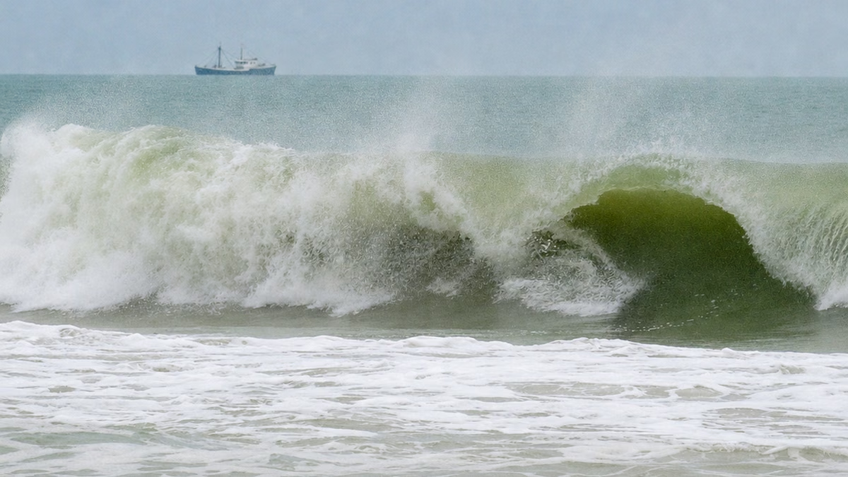
MIAMI.— Waves up to 12 feet, dangerous rip currents and strong winds keep South Florida’s Atlantic coast under warning, although disturbance AL93 remains far from the state and does not pose a direct cyclonic threat.
The National Weather Service (NWS) in Miami maintains a strong surf warning for the Palm Beach coast until 8:00 am on Wednesday, where waves of between seven and 12 feet are expected, capable of generating dangerous conditions for bathers.
In Broward, the warning extends until 8:00 pm this Tuesday, with waves of six to eight feet. Miami-Dade is not listed under the same surf height warning, but all three counties remain at high risk for rip currents through Thursday night.
Rip currents are narrow channels of water that move quickly from the shore toward the open ocean. They can drag even experienced swimmers along and are not always visible from the beach. The danger may persist, even if it is not raining and the sky appears favorable.
The authorities recommend avoiding bathing in areas without lifeguards. Anyone caught in a current should not try to swim directly against it, but rather move parallel to the coast until they get out of the flow and then return towards the shore.
Likewise, navigation faces adverse conditions. A small craft advisory remains in effect in the Atlantic waters between Jupiter Inlet and Ocean Reef until 8:00 pm Wednesday. The forecast calls for northeast winds of 20 to 25 knots and seas of seven to 12 feet.
Biscayne Bay and Lake Okeechobee remain under a similar advisory until 2:00 a.m. Wednesday. The NWS advises small boat operators, especially those without experience, to remain in port while wind and waves continue.
Persistent flow from the northeast may also hinder coastal drainage and cause minor to moderate flooding near high tide times during the middle of the week. That possibility will depend on the intensity of the wind and the coincidence with the maximum tide levels, according to the NWS.
AL93 will move away from the US
Meanwhile, the National Hurricane Center was monitoring AL93, a nontropical low pressure linked to a front and located several hundred miles from North Carolina. The disturbance had a 30% probability of becoming a cyclone during the next 48 hours and 40% in seven days.
AL93 would move slowly north-northeast before accelerating its advance into the open Atlantic by the end of the week. The forecast indicates that it will move away from the US coast and find less favorable conditions for organizing. There were no active tropical cyclones in the Atlantic at the time of writing.
