
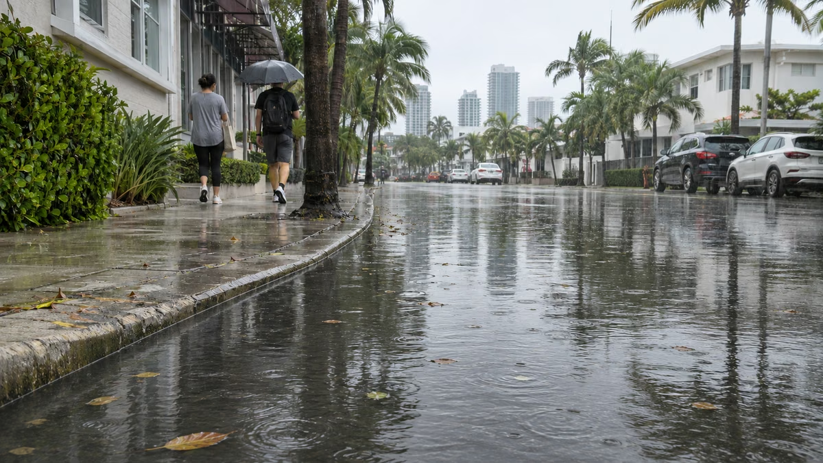
MIAMI.— The National Weather Service (NWS) expanded the flood watch to Miami-Dade, Broward and the interior of Palm Beach before a period of intense rains that could affect streets and low-lying communities from this Tuesday until Thursday night.
Surveillance will begin at 5:00 pm today and will extend until 7:00 pm Thursdayaccording to official notices. The measure indicates that there are favorable conditions for flooding and requires paying attention to new warnings.
Where could more water fall?
The forecast contemplates widespread accumulations of two to four inches until Fridaywith greater quantities in places where downpours are repeated. The most adverse scenario considered by meteorologists contemplates between six and ten inches, but does not represent the general forecast for the three counties.
The largest accumulations are emerging in coastal sectors of Palm Beach and Broward, although the NWS warned that there is still uncertainty about their exact location.
Meanwhile, an area of low pressure in the Gulf and a front that would remain almost motionless over Florida would favor the arrival of humid air. Ocean winds, along with air currents in the upper layers of the atmosphere, could cause repeated downpours over the same coastal areas, according to experts.
The forecast of new rains coincides with the recovery of some communities affected by the floods of November 1 and 2. In West Palm Beach, Mayor Keith James extended the local emergency until Sunday the 22nd to maintain response operations and coordinate resources.
The City reported that it continues to clean drains and use an auxiliary pump station in Apoxee Reserve, while managing control structures in Grassy Waters to have more capacity for the next rains.
Dangerous beaches and boating
In Atlantic waters, waves of 10 to 12 feet this Tuesdaywhile the beaches of Palm Beach and Broward could register breaks of seven to ten feet. Miami-Dade also remains under high risk for rip currents.
These currents can drag swimmers out to sea. Strong wind and waves would also pose a danger to small boats. The maritime warnings continue until Thursday, with different times depending on the area.
Meanwhile, the National Hurricane Center reported at 1:00 am that does not expect formation of tropical cyclones for seven days.
Precautions against flooding
Authorities recommend avoiding driving or walking through flooded roads, even if the water appears shallow. The surface can hide damage to the pavement and the force of the current can displace vehicles.
The NWS recalled that six inches of moving water can knock over an adult and that about a foot can pull many cars. Nor should you attempt to pass around barriers placed to close a road.
